Explore On Foot
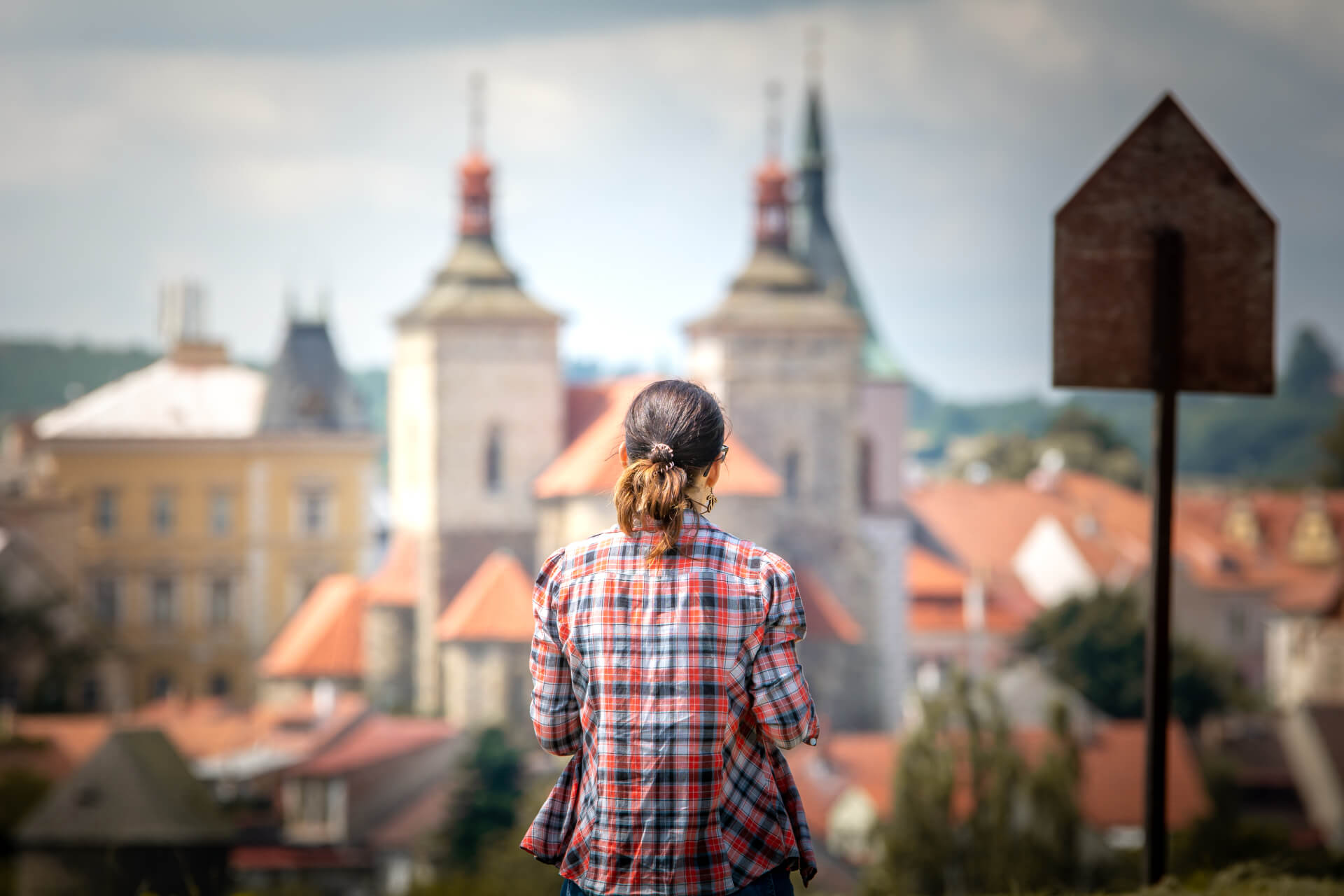
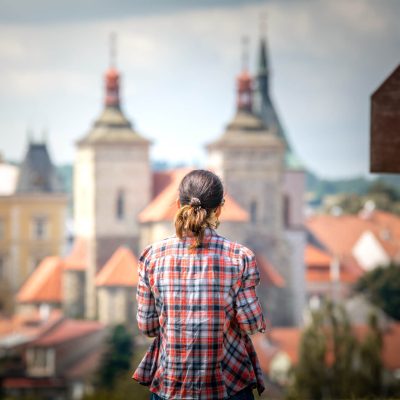
The Trails of the First Slavs Around Kouřim
The route, suitable even for your youngest ones, takes you through ancient Slavic hillforts and a once significant royal town.
Explore
Weather
Saturday 27.04.
8 ° C
Sunday 28.04.
13 ° C
Monday 29.04.
16 ° C
Explore On Foot
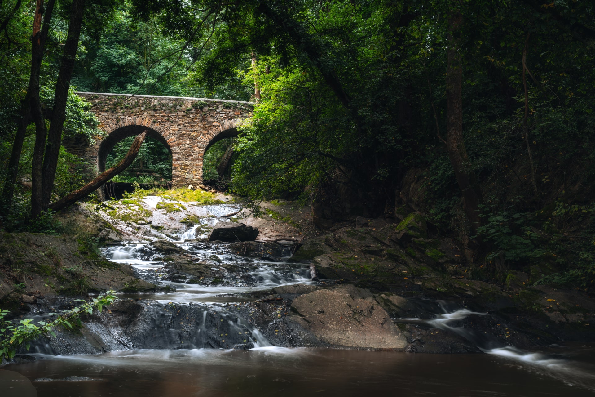
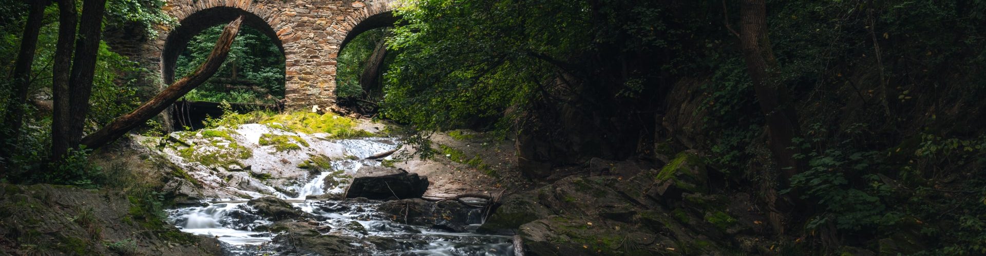
An easygoing trail leads you from Baroque bridges to untamed rapids. The chance to splash around in the creek as you traverse the valley will be a joy, especially for kids, on warm days.
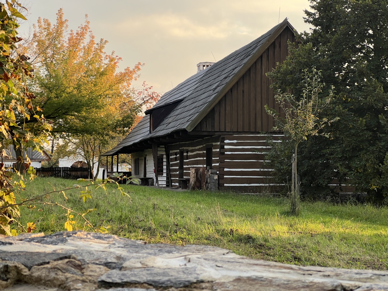
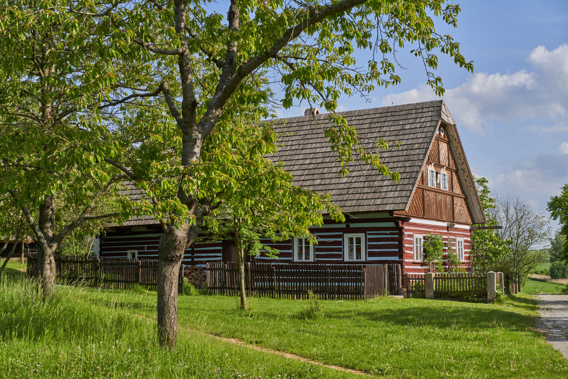
Take a delightful walk through a romantic valley along a gently meandering stream, bringing a sense of calm to your soul. The path unveils a few surprises, such as two Baroque bridges nestled in the greenery, and concludes with the soothing rapids of the Toušice Tresholds. The Výrovka River, known as the Vavřinecký Stream in Zásmuky, is sure to captivate you.
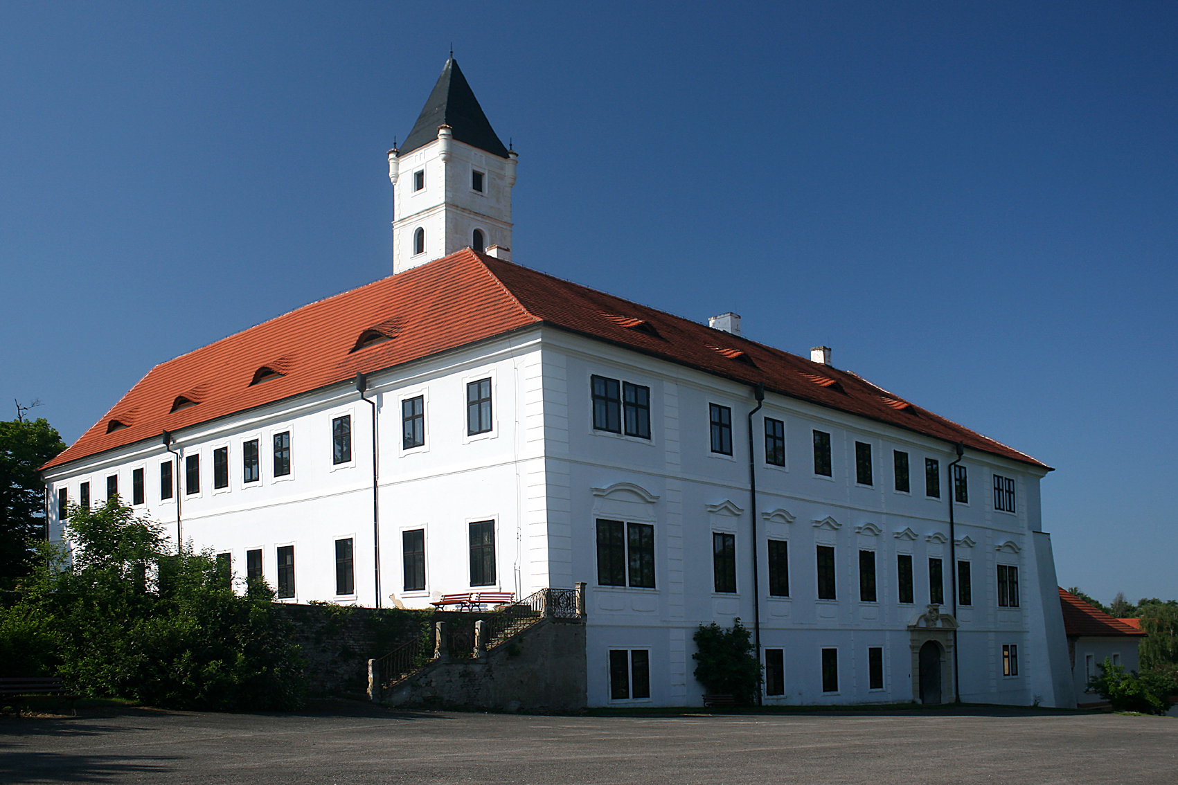
A short and easy trail begins in Zásmuky at the square, where, just past the bus stop, an intriguing neo-Gothic substation catches your eye. Take a moment to explore the adjacent castle park; its grotto is one of the best-preserved in the country. Then, follow the yellow hiking trail towards the historic Bažantnice. As you walk through its center on an educational path, notice the Leopold Oak, which has been growing here for 400 years.
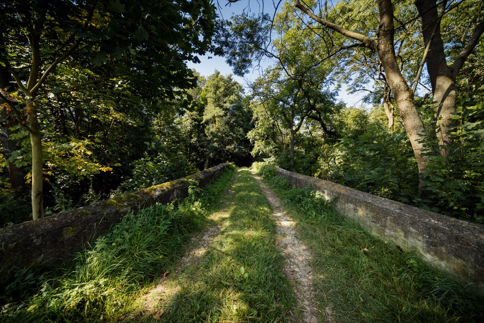
A short distance past the bridge, the valley is adorned with rocks ideal for sport climbing. While now a tranquil oasis, in the past, it served as a lively trade route from Zásmuky to Kouřim, featuring a mill, brickworks, forester’s lodge, and a tavern.
As you conclude the journey, discover another highlight – the second Baroque stone bridge, marking the start of the enchanting Toušice Trasholds, a 5-meter-high rock cascade along the Vavřinecký stream. To return to Zásmuky, follow an unmarked path on the opposite side of the valley.
Trip start:
Zásmuky
Trip length:
5,5 km
Trip duration:
1,5 hours
Explore On Foot
The route, suitable even for your youngest ones, takes you through ancient Slavic hillforts and a once significant royal town.
Explore
Explore On Foot
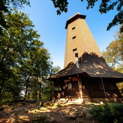
Exploring the mythical Blaník Mountain is enchanting in every season. From the iconic lookout, you'll have nearly half of Bohemia at your fingertips.
Explore
Explore On Foot
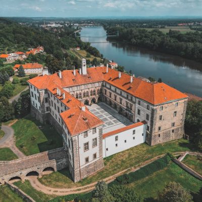
Vltava River roundtrip: Tracing Antonín Dvořák's musical inspirations, plus a double delight of beautiful castles.
Explore
Bike Trips
Just beyond the border of bustling Prague begins a land full of fantasy and children’s fairy tales. Josef Lada’s illustrations have become famous all over the world. Get to know the places that inspired the Czech genius.
Explore
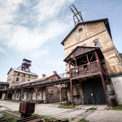
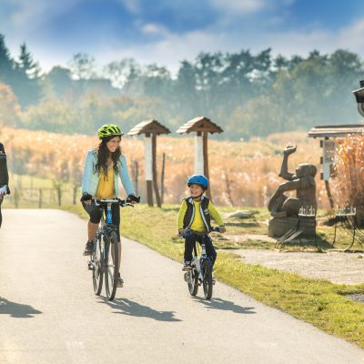
Bike Trips
A bike tour around the largest town in Central Bohemia will take you in the footsteps of miners and industrial monuments.
Explore
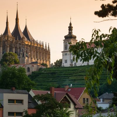
Explore On Foot
The circular nature trail from Kutná Hora will take you to places that inspired the writer Jaroslav Vrchlický.
Explore